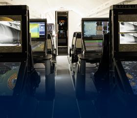
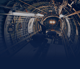
Special Missions


Services techniques et maintenance des aéronefs


In-Service Support
Data Collection & Management


On-Demand Intelligence, Surveillance and Reconnaissance
Training Solutions
Our Specialties

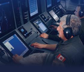
Special Missions
Meet your airborne ISR and special mission requirements with our proven expertise and full-service capabilities.

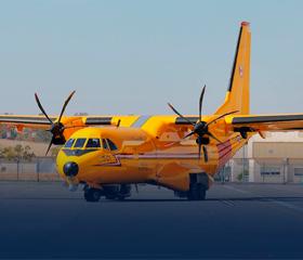
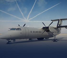
Force Multiplier™️
Give your surveillance program an on-demand capacity boost with the Force Multiplier™ program.


